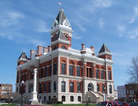
County GIS Solutions

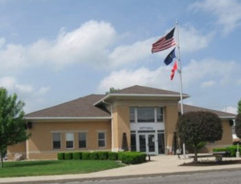
Municipal GIS Solutions
WTH products and services can be combined and configured into specific suites with features especially suited for the requirements of individual agencies. County level agencies and Muncipal level agencies often have similar functions but unique circumstances can require these agencies to use our offerings in ways geared toward their own individual needs.
911
NG911 Conversion
NG911 Maintenance
Dispatch Mapping
ALI Interface
RapidSOS Interface
Event Management
911 Response Mapping
Cell Tower Mapping
ESN Boundary Management
Learn MoreNG911 Maintenance
Dispatch Mapping
ALI Interface
RapidSOS Interface
Event Management
911 Response Mapping
Cell Tower Mapping
ESN Boundary Management
Emergency Management
Response Mapping
Event Management
AVL
CAMEO/Aloha
Evacuation Routes
Shelter Locations
Resource Management
Learn MoreEvent Management
AVL
CAMEO/Aloha
Evacuation Routes
Shelter Locations
Resource Management
Public Health
Septic Inspection
Restaurant Inspection
Disease Epidimology
Insect Spraying
Toxic House Tagging
Public Nuisances
Health Code Enforcement
Learn MoreRestaurant Inspection
Disease Epidimology
Insect Spraying
Toxic House Tagging
Public Nuisances
Health Code Enforcement


